
Atlanta site model and feasibility data
Elevation, aerial imagery, building footprints, roads and more for downtown Atlanta, from Centennial Olympic Park to the State Capitol, in files you keep.
Mantle Place builds a site model of Atlanta: elevation, aerial imagery, buildings and more, in one georeferenced bundle. The pre-drawn area covers downtown Atlanta: 1,197 acres, with public zoning records in reach.
What a bundle carries here
- Area
- 1,197 acres (4.8 km²). Downtown Atlanta, from Centennial Olympic Park through Five Points to the Capitol grounds, with the freeway trench that cuts through the center.
- Price
- $15 for the pre-drawn area, once. Keep the files.
- Elevation
- USGS 3DEP 1 m (1 m here), then 3DEP 1/9″ (3.42 m here), then 3DEP 1/3″ (10.27 m here). Mapterhorn (30 m) backs it.
- Imagery
- NAIP aerial photography where it covers the site, otherwise Copernicus Sentinel-2, in the bundle.
- Buildings and roads
- Building footprints and the road network ship for the area.
- Flood map
- FEMA flood zones ship for the area.
- Parcels
- No public parcel source covers this area yet.
- Zoning
- City of Atlanta, from City of Atlanta, Department of City Planning
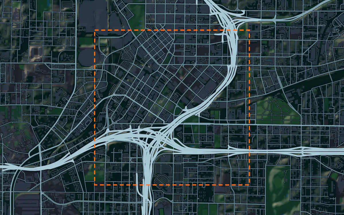
A site model
Atlanta sits on a ridge line, and downtown is hillier than its skyline suggests. Streets climb and drop between the older railroad gulch blocks and the towers on the high ground, and a terrain model shows why a site two blocks away can read as a different level. The freeway cut running through the center is a landform of its own.
The tree canopy is part of the Atlanta picture. Draped imagery shows the mature trees that fill the residential edge and the pocket parks, and extruded footprints give a presentation model the stepped skyline. For a design team that wants to show a project against the downtown, that context is what makes a render read as Atlanta. Designers take the downtown Atlanta bundle into Unreal, Revit, AutoCAD, and more.
A feasibility kit
Atlanta feasibility starts with slope. Piedmont lots can fall away sharply, and a plat that looks regular can hide a retaining-wall problem. The contours from the elevation in the bundle show it before a grading consultant is hired, and the figures above list the public parcel and zoning layers that reach the site.
Creek valleys and the railroad gulch are the other constraints, with low ground often mapped for flood. Read the public flood map where it reaches the site beside the contours for the parcel, and pull a surface into Civil 3D for concept grading. It is public data for early design; confirm with a survey.
Next: topography and contours for a large tract and a Civil 3D surface from lidar.
Public data for concept grading. Confirm boundaries and grades with a site survey.
Frequently asked
Does the Atlanta bundle show how steep a site is?
Yes. The bundle carries elevation at the finest native resolution for the area, and you can cut contours or a slope view from it to see how a lot falls before a consultant measures it.
Can I model Midtown or Buckhead instead of downtown?
Yes. Draw your own area over Midtown, Buckhead or any part of the metro and the bundle is built for that boundary.
Keep the data for Atlanta.
Open the pre-drawn 1,197 acres in the curator, move or resize it, and download a bundle you keep.
Native plugins: Mantle Place for Unreal, Mantle Place for Revit, and Mantle Place for AutoCAD.
Open this area in the curator