
Denver site model and feasibility data
Elevation, aerial imagery, building footprints, roads and more for central Denver, around Civic Center and the State Capitol, in files you keep.
Mantle Place builds a site model of Denver: elevation, aerial imagery, buildings and more, in one georeferenced bundle. The pre-drawn area covers central Denver: 1,200 acres, with public parcel and zoning records in reach.
What a bundle carries here
- Area
- 1,200 acres (4.9 km²). Central Denver, around Civic Center Park and the State Capitol, toward the pedestrian mall and the blocks beside Cherry Creek.
- Price
- $15 for the pre-drawn area, once. Keep the files.
- Elevation
- USGS 3DEP 1 m (1 m here), then 3DEP 1/9″ (3.43 m here), then 3DEP 1/3″ (10.28 m here). Mapterhorn (30 m) backs it.
- Imagery
- NAIP aerial photography where it covers the site, otherwise Copernicus Sentinel-2, in the bundle.
- Buildings and roads
- Building footprints and the road network ship for the area.
- Flood map
- FEMA flood zones ship for the area.
- Parcels
- City and County of Denver, from City and County of Denver (Denver Open Data Catalog)
- Zoning
- City and County of Denver, from City and County of Denver, Community Planning and Development
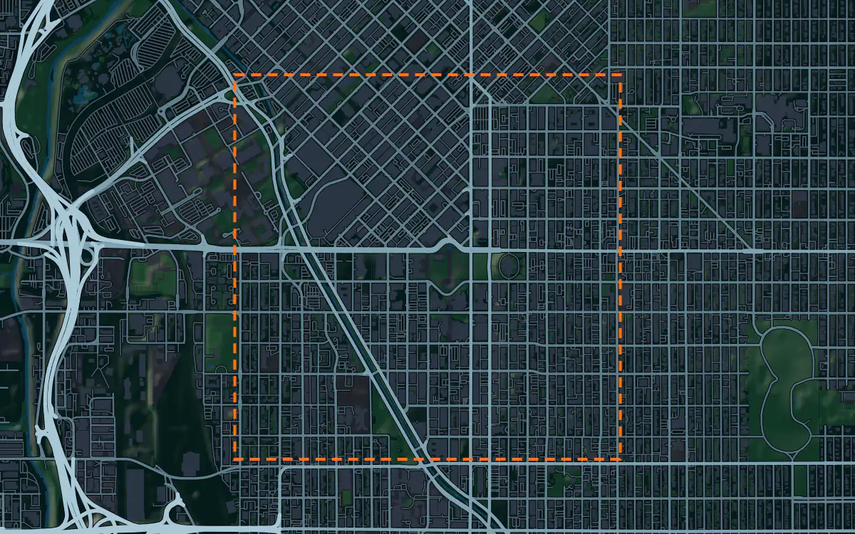
A site model
Denver sits where the plains meet the Front Range, and the mountains are the backdrop that every Denver view is composed against. A terrain model of the center shows the slow fall toward the river and the creek, and the two street grids that turn against each other at an angle are written into the ground plan.
The Capitol and the Civic Center are the formal heart of the context. Put the extruded footprints in your design tool, place a camera on the Capitol steps or at the park, and test whether a proposed massing sits in the line of the mountain view. The imagery adds the park edge and the trees of the old residential blocks. Designers take the central Denver bundle into Unreal, Revit, AutoCAD, and more.
A feasibility kit
Denver infill is about the lot and the district, so the first drawing puts them together. The figures above list the public parcel and zoning layers that reach this ground, and the bundle clips each to the same boundary as the terrain, which saves a developer a trip through several portals.
The creek and the river carry the flood questions, and the dry plains climate brings hard storms that load the drainage. The public flood map, where it reaches the site, with the contours for the parcel, shows what part of a lot is clear. Pull the surface into Civil 3D for concept grading, and confirm with a survey.
Next: topography and contours for a large tract and a Civil 3D surface from lidar.
Public data for concept grading. Confirm boundaries and grades with a site survey.
Frequently asked
Can I include the mountain backdrop in a Denver model?
The bundle covers the area you draw, so the mountains are not inside a downtown boundary. A larger area toward the foothills carries the terrain; the order maximum sets how far you can reach.
Which public records reach central Denver?
Public parcel and zoning records reach central Denver, clipped to its edge; the figures above name the sources.
Keep the data for Denver.
Open the pre-drawn 1,200 acres in the curator, move or resize it, and download a bundle you keep.
Native plugins: Mantle Place for Unreal, Mantle Place for Revit, and Mantle Place for AutoCAD.
Open this area in the curator