
Ellis County site model and feasibility data
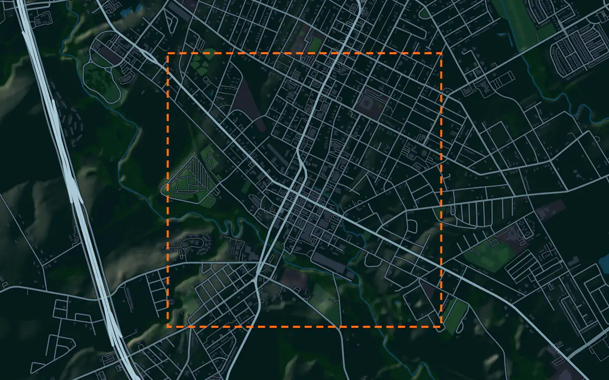
Elevation, aerial imagery, building footprints, roads and more anywhere in Ellis County, opened here on the Waxahachie courthouse square.
Mantle Place builds a site model of Ellis County: elevation, aerial imagery, buildings and more, in one georeferenced bundle. The pre-drawn Ellis County area covers the Waxahachie courthouse square: 1,195 acres, with public parcel records in reach.
What a bundle carries here
- Area
- 1,195 acres (4.8 km²). Downtown Waxahachie, around the ornate courthouse and the square of older brick blocks that surrounds it.
- Price
- $15 for the pre-drawn area, once. Keep the files.
- Elevation
- USGS 3DEP 1 m (1 m here), then 3DEP 1/9″ (3.42 m here), then 3DEP 1/3″ (10.27 m here). Mapterhorn (30 m) backs it.
- Imagery
- NAIP aerial photography where it covers the site, otherwise Copernicus Sentinel-2, in the bundle.
- Buildings and roads
- Building footprints and the road network ship for the area.
- Flood map
- FEMA flood zones ship for the area.
- Parcels
- Statewide, except Donley County, from Texas Geographic Information Office (TxGIO), Texas Water Development Board (StratMap Land Parcels, from county appraisal districts)
- Zoning
- No public zoning source covers this area yet.
A site model
Ellis County is Blackland prairie, a belt of dark clay soils and gently rolling farmland south of Dallas. Waxahachie sits among low swells and creek valleys, and the terrain in the bundle shows the swells under the square and the creek lines beside it.
The courthouse is the landmark of the context, a grand building in stone with a square of old brick storefronts around it, and a district of ornate Victorian houses near the center. The stone and brick fronts give a proposal its height to meet, and the imagery picks out the older blocks and their shade trees. Designers take the the Waxahachie courthouse square bundle into Unreal, Revit, AutoCAD, and more.
A feasibility kit
Dallas has spread south into Ellis County, and farmland is turning into subdivisions and distribution sites.
Blackland clay swells and shrinks with the weather, which matters for foundations and is a job for a geotechnical report, not for this data. Creeks set the flood zones, so lay the public flood map over the contours. A survey settles the rest.
Next: topography and contours for a large tract and a Civil 3D surface from lidar.
Public data for concept grading. Confirm boundaries and grades with a site survey.
Frequently asked
Can I model a tract in the Blackland prairie near Waxahachie?
Yes. Draw the tract and the bundle holds its gentle relief and the field and creek pattern in the imagery.
Which public records reach the Waxahachie courthouse square?
Public parcel records reach the Waxahachie courthouse square, clipped to its edge; the figures above name the sources.
Keep the data for Ellis County.
Open the pre-drawn 1,195 acres in the curator, move or resize it, and download a bundle you keep.
Native plugins: Mantle Place for Unreal, Mantle Place for Revit, and Mantle Place for AutoCAD.
Open this area in the curator