
Flagler County site model and feasibility data
Elevation, aerial imagery, building footprints, roads and more anywhere in Flagler County, opened here on downtown Bunnell.
Mantle Place builds a site model of Flagler County: elevation, aerial imagery, buildings and more, in one georeferenced bundle. The pre-drawn Flagler County area covers downtown Bunnell: 1,201 acres, with public parcel records in reach.
What a bundle carries here
- Area
- 1,201 acres (4.9 km²). Downtown Bunnell, the small county seat inland of Palm Coast, around the courthouse and the older blocks along the main road.
- Price
- $15 for the pre-drawn area, once. Keep the files.
- Elevation
- USGS 3DEP 1 m (1 m here), then 3DEP 1/9″ (3.42 m here), then 3DEP 1/3″ (10.26 m here). Mapterhorn (30 m) backs it.
- Imagery
- NAIP aerial photography where it covers the site, otherwise Copernicus Sentinel-2, in the bundle.
- Buildings and roads
- Building footprints and the road network ship for the area.
- Flood map
- FEMA flood zones ship for the area.
- Parcels
- Statewide, from Florida Department of Revenue, Property Tax Oversight (statewide parcel map, from the 67 county property appraisers)
- Zoning
- No public zoning source covers this area yet.
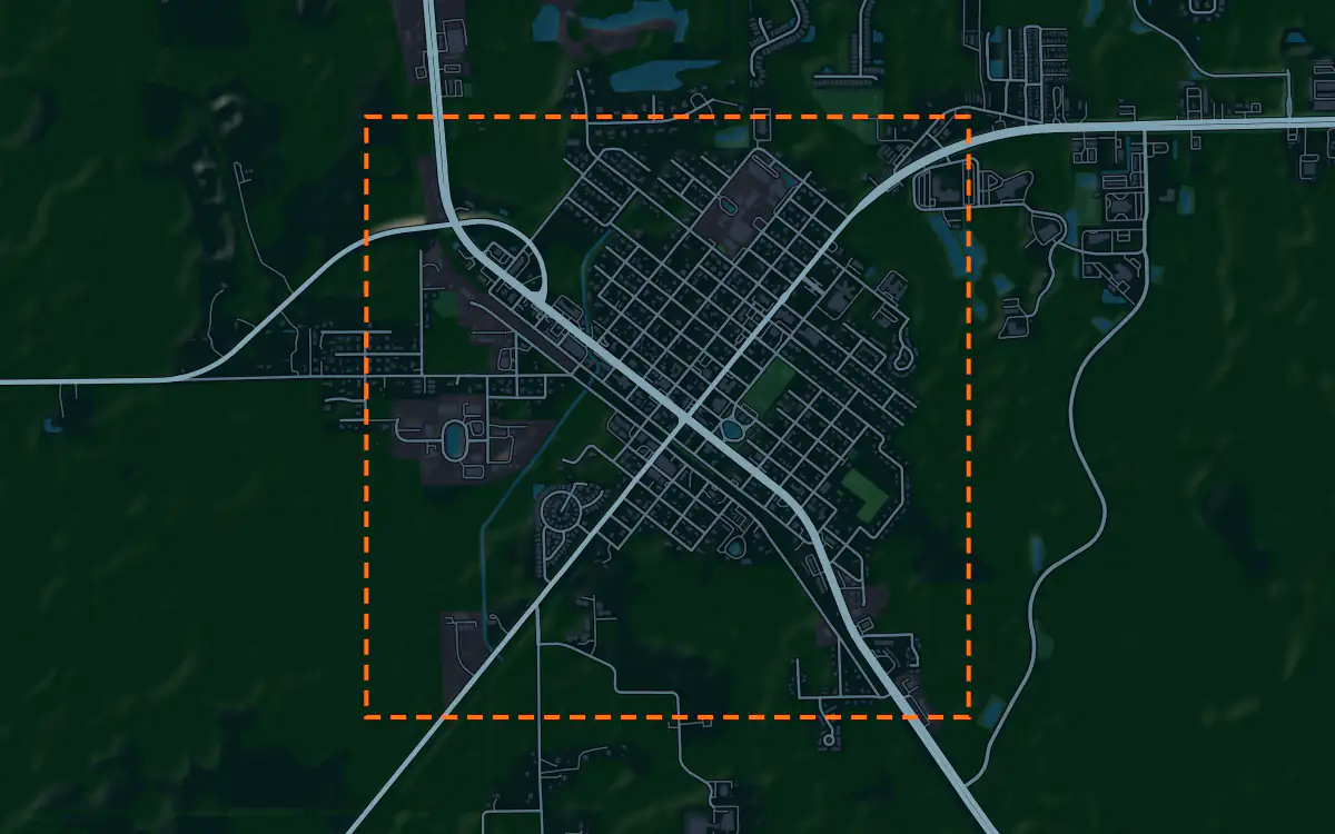
A site model
Flagler County lies between the Atlantic and the Intracoastal Waterway on flat pine flatwoods cut by creeks and canals. Bunnell sits inland on slightly higher ground, and a terrain model of the extent shows how little the land does to organize the town.
The context is a small county seat with a courthouse and older low buildings, with a planned city of canal-cut neighborhoods to the east and timberland and farm fields around. Extruded footprints let a designer test a proposal against that scale, and the imagery draws the grid and the woods. Designers take the downtown Bunnell bundle into Unreal, Revit, AutoCAD, and more.
A feasibility kit
Growth in the county follows the planned city on the coast, and tracts inland are where land gets cheaper. Wetlands, canals and low flatwoods set the constraints.
Next: topography and contours for a large tract and a Civil 3D surface from lidar.
Public data for concept grading. Confirm boundaries and grades with a site survey.
Frequently asked
Can I model Palm Coast, not just Bunnell?
Yes. Draw your own area over Palm Coast or any part of the county and the bundle is built for that boundary.
Can I screen a timber or farm tract in Flagler County?
Draw your site and the bundle lays the FEMA flood map over the contours; the map covers downtown Bunnell. Confirm boundaries and wetlands with a survey and a specialist.
Keep the data for Flagler County.
Open the pre-drawn 1,201 acres in the curator, move or resize it, and download a bundle you keep.
Native plugins: Mantle Place for Unreal, Mantle Place for Revit, and Mantle Place for AutoCAD.
Open this area in the curator