
Lee County site model and feasibility data
Elevation, aerial imagery, building footprints, roads and more anywhere in Lee County, opened here on the Fort Myers riverfront.
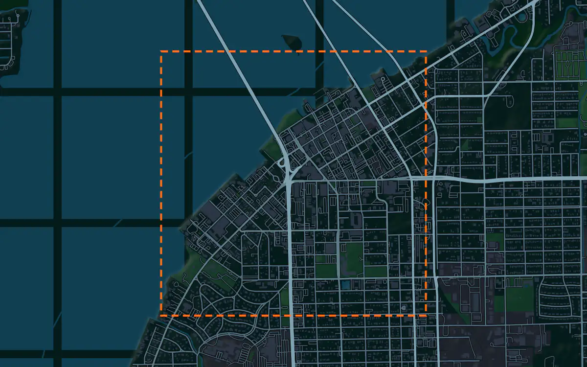
Mantle Place builds a site model of Lee County: elevation, aerial imagery, buildings and more, in one georeferenced bundle. The pre-drawn Lee County area covers the Fort Myers riverfront: 1,200 acres, with public parcel and zoning records in reach.
What a bundle carries here
- Area
- 1,200 acres (4.9 km²). Downtown Fort Myers on the Caloosahatchee River, with the historic district, the riverfront and the grid of the older blocks.
- Price
- $15 for the pre-drawn area, once. Keep the files.
- Elevation
- USGS 3DEP 1 m (1 m here), then 3DEP 1/9″ (3.42 m here), then 3DEP 1/3″ (10.26 m here). Mapterhorn (30 m) backs it.
- Imagery
- NAIP aerial photography where it covers the site, otherwise Copernicus Sentinel-2, in the bundle.
- Buildings and roads
- Building footprints and the road network ship for the area.
- Flood map
- FEMA flood zones ship for the area.
- Parcels
- Statewide, from Florida Department of Revenue, Property Tax Oversight (statewide parcel map, from the 67 county property appraisers)
- Zoning
- City of Fort Myers, from City of Fort Myers (Community Development Department GIS); Unincorporated Lee County, from Lee County (GIS Department and the Division of Zoning)
A site model
Lee County is a coastal plain, and the Caloosahatchee River is its big landform. Downtown Fort Myers sits on the north bank, where the ground rises only a little above the water, and a terrain model of the extent shows that edge and the bends of the river beyond it.
Palms and live oaks line the older streets, and the historic district gives the context its low, shaded scale. Extruded footprints around the riverfront let a designer test a project against that scale, and the imagery draws the river, the marinas and the bridge that carries traffic across the water. Designers take the the Fort Myers riverfront bundle into Unreal, Revit, AutoCAD, and more.
A feasibility kit
Growth in the county lands on tracts that are mostly flat, so the first look is about water and the lot lines. The figures above list the public parcel and zoning layers that reach this ground, and the bundle sets each beside the terrain so a developer reads them together.
The coast takes hurricanes, and storm surge makes elevation the deciding number on most Gulf lots. Lay the public flood map, where it reaches the site, over the contours to see how much of a tract stands clear. It is public data for screening; confirm boundaries and grades with a survey.
Next: topography and contours for a large tract and a Civil 3D surface from lidar.
Public data for concept grading. Confirm boundaries and grades with a site survey.
Frequently asked
Can I get a site model for Cape Coral or Sanibel, not just Fort Myers?
Yes. Draw your own area anywhere in the county and the bundle is built for that boundary, within the order maximum.
How do I see surge exposure on a Lee County tract?
Read the public flood map and the contours in the bundle against the tract. The map shows mapped zones and the contours show how high the ground stands, which is enough to screen before an engineer confirms.
Keep the data for Lee County.
Open the pre-drawn 1,200 acres in the curator, move or resize it, and download a bundle you keep.
Native plugins: Mantle Place for Unreal, Mantle Place for Revit, and Mantle Place for AutoCAD.
Open this area in the curator