
Liberty County site model and feasibility data
Elevation, aerial imagery, building footprints, roads and more anywhere in Liberty County, opened here on downtown Liberty.
Mantle Place builds a site model of Liberty County: elevation, aerial imagery, buildings and more, in one georeferenced bundle. The pre-drawn Liberty County area covers downtown Liberty: 1,194 acres, with public parcel records in reach.
What a bundle carries here
- Area
- 1,194 acres (4.8 km²). Downtown Liberty, around the courthouse and the older blocks near the Trinity River bottomland.
- Price
- $15 for the pre-drawn area, once. Keep the files.
- Elevation
- USGS 3DEP 1 m (1 m here), then 3DEP 1/9″ (3.42 m here), then 3DEP 1/3″ (10.26 m here). Mapterhorn (30 m) backs it.
- Imagery
- NAIP aerial photography where it covers the site, otherwise Copernicus Sentinel-2, in the bundle.
- Buildings and roads
- Building footprints and the road network ship for the area.
- Flood map
- FEMA flood zones ship for the area.
- Parcels
- Statewide, except Donley County, from Texas Geographic Information Office (TxGIO), Texas Water Development Board (StratMap Land Parcels, from county appraisal districts)
- Zoning
- No public zoning source covers this area yet.
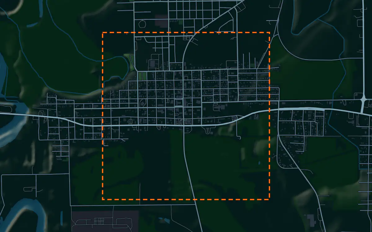
A site model
Liberty County lies east of Houston on the coastal plain, where pine woods meet the Trinity River bottomland. The ground is nearly level, and the terrain in the bundle shows the small rises and the drainage lines that matter on ground this flat.
Liberty is a small county seat, with the courthouse at its center and older low buildings around it. Low older buildings set the scale to answer, and the imagery shows the tree canopy over much of the land around town. Designers take the downtown Liberty bundle into Unreal, Revit, AutoCAD, and more.
A feasibility kit
Growth on the east side of the Houston region has reached Liberty County, and the first look at a tract is its size in acres, the lot lines and the shape of the ground.
River bottomland and bayous set the constraints. The public flood map, where it reaches the site, with the contours for the tract, shows how much of it stands clear of the mapped zones. Timber cover also hides the ground in the imagery. This is public data for screening; confirm with a survey.
Next: topography and contours for a large tract and a Civil 3D surface from lidar.
Public data for concept grading. Confirm boundaries and grades with a site survey.
Frequently asked
Can I model land near the Trinity River in Liberty County?
Yes. Draw the boundary across the river bottom and the bundle holds its low terrain and the canopy imagery.
What public data reaches a timber tract near Liberty?
Draw your site and the bundle lays the FEMA flood map over the contours; the map covers downtown Liberty. Tree cover affects the imagery, so confirm ground with a survey.
Keep the data for Liberty County.
Open the pre-drawn 1,194 acres in the curator, move or resize it, and download a bundle you keep.
Native plugins: Mantle Place for Unreal, Mantle Place for Revit, and Mantle Place for AutoCAD.
Open this area in the curator