
Milwaukee site model and feasibility data
Elevation, aerial imagery, building footprints, roads and more for downtown Milwaukee, from the lakefront bluff to the river, in files you keep.
Mantle Place builds a site model of Milwaukee: elevation, aerial imagery, buildings and more, in one georeferenced bundle. The pre-drawn area covers downtown Milwaukee: 1,194 acres, with public parcel and zoning records in reach.
What a bundle carries here
- Area
- 1,194 acres (4.8 km²). Downtown Milwaukee, from the lakefront bluff west across the Milwaukee River through the core toward the arena.
- Price
- $15 for the pre-drawn area, once. Keep the files.
- Elevation
- USGS 3DEP 1 m (1 m here), then 3DEP 1/9″ (3.43 m here), then 3DEP 1/3″ (10.29 m here). Mapterhorn (30 m) backs it.
- Imagery
- NAIP aerial photography where it covers the site, otherwise Copernicus Sentinel-2, in the bundle.
- Buildings and roads
- Building footprints and the road network ship for the area.
- Flood map
- FEMA flood zones ship for the area.
- Parcels
- Statewide, from Wisconsin Department of Administration, Land Information Program (Statewide Parcel Map Database, compiled by the State Cartographer’s Office)
- Zoning
- City of Milwaukee, from City of Milwaukee
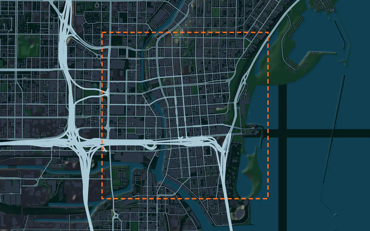
A site model
Milwaukee is a city of water. The lakefront bluff rises above Lake Michigan, the Milwaukee River winds through downtown in the valley behind it, and the street grid has to cross both. A terrain model of the extent shows the bluff and the valley floor, which explains why downtown streets climb and fall near the water.
Bridges are the signature of the context. The river is lined with them, and a camera on a bridge deck is a classic Milwaukee view. Extruded footprints give a presentation model the old warehouse blocks beside the newer towers, and the imagery draws the river walk and the lake edge. Designers take the downtown Milwaukee bundle into Unreal, Revit, AutoCAD, and more.
A feasibility kit
Redevelopment here often means reusing the older blocks near the river, where a lot can sit on the valley floor with a steep edge. The contours show it, and the figures above list the public parcel and zoning layers that reach this ground, set by the bundle beside the terrain.
The rivers and the lake bring flood and shoreline questions, so the public flood map, where it reaches the site, belongs in the first drawing. It is public data for screening; confirm boundaries with a survey.
Next: topography and contours for a large tract and a Civil 3D surface from lidar.
Public data for concept grading. Confirm boundaries and grades with a site survey.
Frequently asked
Can I see the lake bluff in the terrain?
Yes. The elevation in the bundle is the finest native source for the area, and a boundary over the lakefront includes the bluff and the shore below it.
Which public records reach downtown Milwaukee?
Public parcel and zoning records reach downtown Milwaukee, clipped to its edge; the figures above name the sources.
Keep the data for Milwaukee.
Open the pre-drawn 1,194 acres in the curator, move or resize it, and download a bundle you keep.
Native plugins: Mantle Place for Unreal, Mantle Place for Revit, and Mantle Place for AutoCAD.
Open this area in the curator