
Nashville site model and feasibility data
Elevation, aerial imagery, building footprints, roads and more for downtown Nashville, from the Capitol to the Cumberland River, in files you keep.
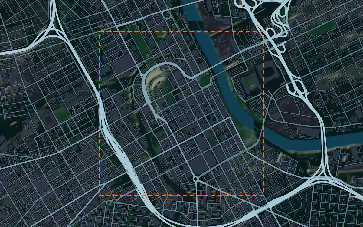
Mantle Place builds a site model of Nashville: elevation, aerial imagery, buildings and more, in one georeferenced bundle. The pre-drawn area covers downtown Nashville: 1,201 acres, with public zoning records in reach.
What a bundle carries here
- Area
- 1,201 acres (4.9 km²). Downtown Nashville, from the Tennessee State Capitol hill down Broadway to the Cumberland River waterfront.
- Price
- $15 for the pre-drawn area, once. Keep the files.
- Elevation
- USGS 3DEP 1 m (1 m here), then 3DEP 1/9″ (3.42 m here), then 3DEP 1/3″ (10.27 m here). Mapterhorn (30 m) backs it.
- Imagery
- NAIP aerial photography where it covers the site, otherwise Copernicus Sentinel-2, in the bundle.
- Buildings and roads
- Building footprints and the road network ship for the area.
- Flood map
- FEMA flood zones ship for the area.
- Parcels
- No public parcel source covers this area yet.
- Zoning
- Nashville-Davidson (Metropolitan Government, satellite cities excluded), from Metro Nashville and Davidson County, Planning Department
A site model
Nashville drops from the hill where the Capitol sits to the bank of the Cumberland River, and Broadway runs down that slope. A terrain model of the extent shows the hill, the river bottom and the shelf between them, which is why the streets near the river feel so different from those near the Capitol.
The context is a lively mix of honky-tonk blocks, an arena, a riverfront stadium across the water and a growing set of towers. Extruded footprints give a presentation model the skyline, and the imagery draws the river, the pedestrian bridge and the old brick warehouses. Designers take the downtown Nashville bundle into Unreal, Revit, AutoCAD, and more.
A feasibility kit
Growth has brought development pressure to every part of the metro, and the first look at a Nashville lot is the same each time: its size in acres, its district and the ground. The figures above list which public parcel and zoning layers reach this area, and the bundle sets each beside the terrain.
The river carries the flood question, and the limestone under the hills brings karst features such as sinkholes to parts of the region, a matter for a geotechnical consultant. The public flood map, where it reaches the site, with the contours, is the first view.
Next: topography and contours for a large tract and a Civil 3D surface from lidar.
Public data for concept grading. Confirm boundaries and grades with a site survey.
Frequently asked
Can I model the east bank or the Gulch instead of Broadway?
Yes. Draw your own area over the east bank, the Gulch or anywhere in the metro and the bundle is built for that boundary.
Can I model a site in Franklin or Murfreesboro?
Yes. Draw your own area over either city and the bundle is built for that boundary, with the same terrain, imagery, buildings, roads and more.
Keep the data for Nashville.
Open the pre-drawn 1,201 acres in the curator, move or resize it, and download a bundle you keep.
Native plugins: Mantle Place for Unreal, Mantle Place for Revit, and Mantle Place for AutoCAD.
Open this area in the curator