
Phoenix site model and feasibility data
Elevation, aerial imagery, building footprints, roads and more for downtown Phoenix, in files you keep.
Mantle Place builds a site model of Phoenix: elevation, aerial imagery, buildings and more, in one georeferenced bundle. The pre-drawn area covers downtown Phoenix: 1,191 acres, with no public parcel or zoning source in reach.
What a bundle carries here
- Area
- 1,191 acres (4.8 km²). Downtown Phoenix, from the Roosevelt Row arts district south through the civic core and the ballpark blocks to the rail corridor.
- Price
- $15 for the pre-drawn area, once. Keep the files.
- Elevation
- USGS 3DEP 1 m (1 m here), then 3DEP 1/9″ (3.42 m here), then 3DEP 1/3″ (10.27 m here). Mapterhorn (30 m) backs it.
- Imagery
- NAIP aerial photography where it covers the site, otherwise Copernicus Sentinel-2, in the bundle.
- Buildings and roads
- Building footprints and the road network ship for the area.
- Flood map
- FEMA flood zones ship for the area.
- Parcels
- No public parcel source covers this area yet.
- Zoning
- No public zoning source covers this area yet.
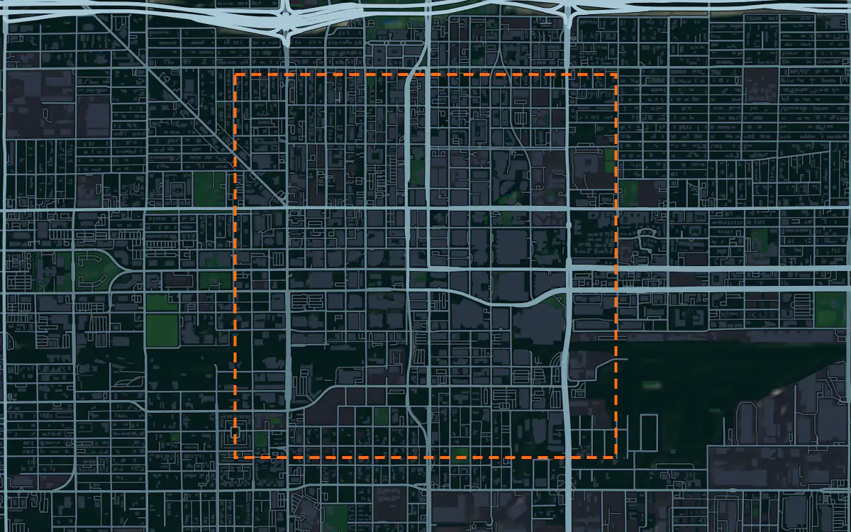
A site model
Downtown Phoenix sits on the floor of the Salt River Valley, so a site here reads as nearly flat until you put it next to its neighbors. The grade falls gently toward the river to the south, and that fall is what decides where a plaza drains and how a ground floor meets the sidewalk. A terrain model built from public elevation shows that slope across the whole block, not just inside the property line, which is where most presentation models go wrong.
The bigger design question in Phoenix is sun. Towers along Central Avenue, the parking structures around the ballpark and the low warehouses toward the rail lines all cast the shade a courtyard or a shaded walk depends on. With the footprints extruded around your lot in your design tool you can run a summer afternoon and show a client where the shade falls. The mountains on the skyline are outside a downtown area like this one, so widen the drawn area if a view study needs them.
The aerial imagery shows what the street grid hides: the vacant lots and surface parking that downtown infill keeps replacing, the light rail running along Washington and Jefferson, and the canopy that survives in the older neighborhoods to the north. Drape it on the terrain and the context model looks like the place rather than a grey massing study. Designers take the downtown Phoenix bundle into Unreal, Revit, AutoCAD, and more.
A feasibility kit
Most downtown Phoenix deals are infill: a surface lot, a former warehouse, a corner a bank has held for decades. The first questions are the same each time. How big is it in acres, what surrounds it, and does the ground do anything that will cost money. A bundle for the parcel answers the first two from the data and gives you contours and a terrain surface to judge the third.
Water is the Phoenix-specific risk. The valley floor is flat enough that stormwater spreads rather than runs, and retaining it on site is a recurring design question here, so the shape of the ground decides how much of a lot a retention basin takes. The flood-map line and the contours together show whether a site sits in a low spot before an engineer is engaged.
Use it to screen several lots in an afternoon, compare their context and slope side by side, and bring only the strongest to a surveyor and a civil engineer. It is public data for planning and concept grading, not a substitute for a survey.
Next: topography and contours for a large tract and a Civil 3D surface from lidar.
Public data for concept grading. Confirm boundaries and grades with a site survey.
Frequently asked
Is downtown Phoenix too flat for a terrain model to matter?
No. The grade is gentle, but it decides drainage, retention and how the ground floor meets the street, and a context model that shows the fall across neighboring blocks reads better than a flat plane.
Can I study summer shade on a Phoenix site?
Yes. Extrude the building footprints around your lot in your design tool, set the sun for a summer afternoon, and show where the towers and parking structures throw shade on the site.
Does the bundle show whether a Phoenix lot is in a flood zone?
The bundle carries the public flood map where FEMA has mapped the area, so you can see the flood-zone line against the lot and the contours. Confirm the zone with the city and an engineer before you rely on it.
Keep the data for Phoenix.
Open the pre-drawn 1,191 acres in the curator, move or resize it, and download a bundle you keep.
Native plugins: Mantle Place for Unreal, Mantle Place for Revit, and Mantle Place for AutoCAD.
Open this area in the curator