
Salt Lake City site model and feasibility data
Elevation, aerial imagery, building footprints, roads and more for downtown Salt Lake City, around Temple Square, with the Wasatch Range behind it, in files you keep.
Mantle Place builds a site model of Salt Lake City: elevation, aerial imagery, buildings and more, in one georeferenced bundle. The pre-drawn area covers downtown Salt Lake City: 1,200 acres, with public parcel and zoning records in reach.
What a bundle carries here
- Area
- 1,200 acres (4.9 km²). Downtown Salt Lake City, centered on Temple Square with the capitol hill rising at the northern edge and the broad street grid on every side.
- Price
- $15 for the pre-drawn area, once. Keep the files.
- Elevation
- USGS 3DEP 1 m (1 m here), then 3DEP 1/9″ (3.43 m here), then 3DEP 1/3″ (10.28 m here). Mapterhorn (30 m) backs it.
- Imagery
- NAIP aerial photography where it covers the site, otherwise Copernicus Sentinel-2, in the bundle.
- Buildings and roads
- Building footprints and the road network ship for the area.
- Flood map
- FEMA flood zones ship for the area.
- Parcels
- Statewide, from Utah Geospatial Resource Center (from county recorders)
- Zoning
- City of Salt Lake City, from Salt Lake City (Central GIS and the Planning Division)
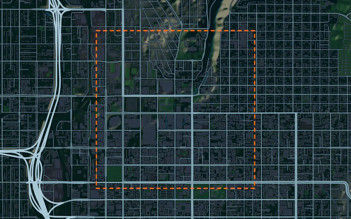
A site model
Salt Lake City is laid out on a grid of very large blocks and very wide streets, and it tilts. The valley floor rises toward the foothills of the Wasatch Range on the east, and the capitol sits up on a hill above the grid. A terrain model of the extent shows that tilt, which sets how a downtown street feels at its two ends.
The mountains are the permanent backdrop of the context, and the Great Salt Lake lies out to the northwest. Extruded footprints around the Temple grounds give a presentation model the scale of the core, and the imagery draws the mid-block walks, the parks and the trees along the older streets. Designers take the downtown Salt Lake City bundle into Unreal, Revit, AutoCAD, and more.
A feasibility kit
The foothill edge of the valley is where feasibility gets interesting. Lots against the mountains can be steep, and the contours cut from the bundle show it before a grading consultant is called.
Canyon creeks and the valley floor carry the flood questions, and the region is seismically active, which belongs to a geotechnical consultant and not to this data. Read the public flood map, where it reaches the site, with the contours, then confirm boundaries and grades with a survey.
Next: topography and contours for a large tract and a Civil 3D surface from lidar.
Public data for concept grading. Confirm boundaries and grades with a site survey.
Frequently asked
Can I include the Wasatch foothills in a Salt Lake City model?
The bundle covers the area you draw. A boundary toward the foothills carries the rising terrain, within the order maximum.
Can I model a site in Murray or Sandy?
Yes. Draw your own area over any suburb of the valley and the bundle is built for that boundary, with the same terrain, imagery, buildings, roads and more.
Keep the data for Salt Lake City.
Open the pre-drawn 1,200 acres in the curator, move or resize it, and download a bundle you keep.
Native plugins: Mantle Place for Unreal, Mantle Place for Revit, and Mantle Place for AutoCAD.
Open this area in the curator