
San Antonio site model and feasibility data
Elevation, aerial imagery, building footprints, roads and more for downtown San Antonio, around the River Walk and Alamo Plaza, in files you keep.
Mantle Place builds a site model of San Antonio: elevation, aerial imagery, buildings and more, in one georeferenced bundle. The pre-drawn area covers downtown San Antonio: 1,201 acres, with public parcel and zoning records in reach.
What a bundle carries here
- Area
- 1,201 acres (4.9 km²). Downtown San Antonio, from Alamo Plaza and the River Walk loop through the historic blocks toward the tower district.
- Price
- $15 for the pre-drawn area, once. Keep the files.
- Elevation
- USGS 3DEP 1 m (1 m here), then 3DEP 1/9″ (3.42 m here), then 3DEP 1/3″ (10.26 m here). Mapterhorn (30 m) backs it.
- Imagery
- NAIP aerial photography where it covers the site, otherwise Copernicus Sentinel-2, in the bundle.
- Buildings and roads
- Building footprints and the road network ship for the area.
- Flood map
- FEMA flood zones ship for the area.
- Parcels
- Statewide, except Donley County, from Texas Geographic Information Office (TxGIO), Texas Water Development Board (StratMap Land Parcels, from county appraisal districts)
- Zoning
- City of San Antonio, from City of San Antonio GIS (CoSA Open Data)
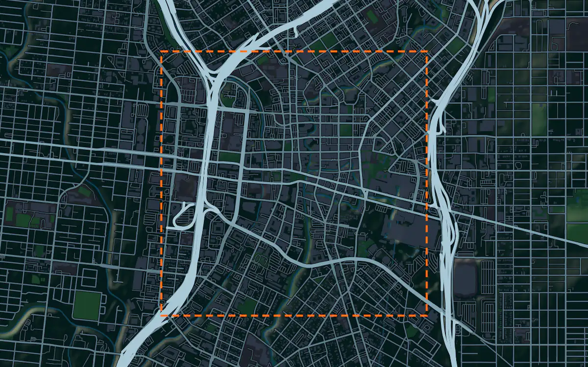
A site model
San Antonio grew around a river that winds through downtown in tight bends, and the river sits below street level. A terrain model shows the valley the River Walk occupies, which is why the paths and the plazas step down from the streets. That vertical relationship is the first thing a downtown design here needs to get right.
The context is layered: a mission-era plaza, a historic grid of narrow blocks, and towers rising beside them. Extruded footprints let a team test a proposal against that scale, and the draped imagery shows the river bends, the plazas and the tree cover along the water. Designers take the downtown San Antonio bundle into Unreal, Revit, AutoCAD, and more.
A feasibility kit
Downtown San Antonio feasibility begins at the lot, so the figures above list which public parcel and zoning layers reach this ground, and the bundle sets each beside the terrain. A developer can then see the district, the lot lines and the fall of the land toward the river in one drawing.
Flash floods are a real risk on the creeks and in the river valley, and the low ground beside the water is often mapped. The public flood map, where it reaches the site, together with the contours, shows how much of a lot sits clear. Treat it as public data for screening and confirm with a survey.
Next: topography and contours for a large tract and a Civil 3D surface from lidar.
Public data for concept grading. Confirm boundaries and grades with a site survey.
Frequently asked
Can I model the River Walk in detail?
The bundle carries terrain, imagery, footprints, roads and more for the area you draw, so a boundary over the river loop includes the valley and the surrounding blocks. How fine the detail is depends on the sources the figures list.
Can I model a site in New Braunfels or Boerne?
Yes. Draw your own area anywhere in the metro and the bundle is built for that boundary.
Keep the data for San Antonio.
Open the pre-drawn 1,201 acres in the curator, move or resize it, and download a bundle you keep.
Native plugins: Mantle Place for Unreal, Mantle Place for Revit, and Mantle Place for AutoCAD.
Open this area in the curator