
Sumter County site model and feasibility data
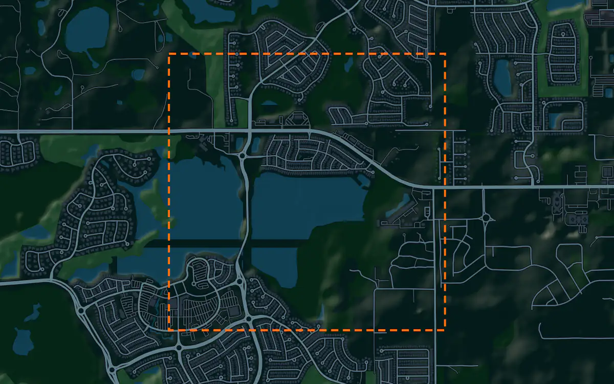
Elevation, aerial imagery, building footprints, roads and more anywhere in Sumter County, opened here on Lake Sumter Landing in The Villages.
Mantle Place builds a site model of Sumter County: elevation, aerial imagery, buildings and more, in one georeferenced bundle. The pre-drawn Sumter County area covers Lake Sumter Landing in The Villages: 1,197 acres, with public parcel records in reach.
What a bundle carries here
- Area
- 1,197 acres (4.8 km²). The Lake Sumter Landing town square in The Villages, with its waterfront shops and the lake, and the master-planned neighborhoods that surround it.
- Price
- $15 for the pre-drawn area, once. Keep the files.
- Elevation
- USGS 3DEP 1 m (1 m here), then 3DEP 1/9″ (3.42 m here), then 3DEP 1/3″ (10.26 m here). Mapterhorn (30 m) backs it.
- Imagery
- NAIP aerial photography where it covers the site, otherwise Copernicus Sentinel-2, in the bundle.
- Buildings and roads
- Building footprints and the road network ship for the area.
- Flood map
- FEMA flood zones ship for the area.
- Parcels
- Statewide, from Florida Department of Revenue, Property Tax Oversight (statewide parcel map, from the 67 county property appraisers)
- Zoning
- No public zoning source covers this area yet.
A site model
Sumter County sits in the sandy, gently rolling country of north central Florida, among lakes, pasture and scattered woodland. A terrain model of the extent shows the shallow rises and the lake basins, which are the only relief in a landscape this flat.
The context here is a master-planned community, with a themed town square on a lake, curving streets, golf courses and neighborhood centers. Extruded footprints give a presentation model that planned layout, and the imagery draws the lake, the greens and the network of paths that crosses the land. Designers take the Lake Sumter Landing in The Villages bundle into Unreal, Revit, AutoCAD, and more.
A feasibility kit
Sumter County has been one of the fastest-growing in the Sun Belt by Census estimates, as new phases of planned communities extend across former farmland. Every tract starts with the same questions: how many acres, where the lines are, and how the land lies. The figures above say which public layers reach this ground.
Sinkholes and high water are the central Florida constraints, and the contours from the bundle show the low ground. The public flood map, where it reaches the site, shows mapped zones. Soils and wetlands need specialists, so treat this as public data for early screening and confirm with a survey.
Next: topography and contours for a large tract and a Civil 3D surface from lidar.
Public data for concept grading. Confirm boundaries and grades with a site survey.
Frequently asked
Can I screen a grove or pasture tract in Sumter County?
Draw your site and the bundle lays the FEMA flood map over the contours; the map covers Lake Sumter Landing in The Villages.
Which public records reach Lake Sumter Landing in The Villages?
Public parcel records reach Lake Sumter Landing in The Villages, clipped to its edge; the figures above name the sources.
Keep the data for Sumter County.
Open the pre-drawn 1,197 acres in the curator, move or resize it, and download a bundle you keep.
Native plugins: Mantle Place for Unreal, Mantle Place for Revit, and Mantle Place for AutoCAD.
Open this area in the curator