
Washington site model and feasibility data
Elevation, aerial imagery, building footprints, roads and more for downtown Washington, around the White House and Penn Quarter, in files you keep.
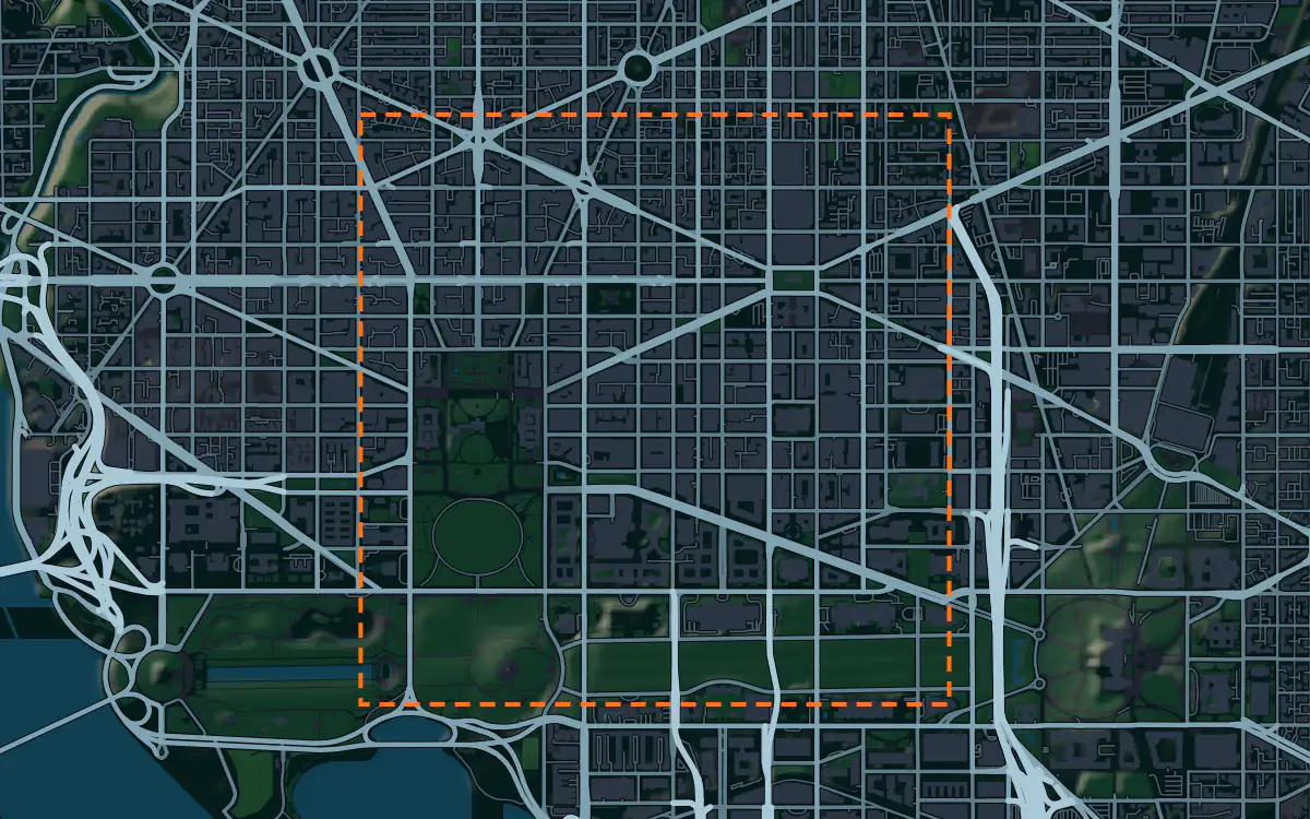
Mantle Place builds a site model of Washington: elevation, aerial imagery, buildings and more, in one georeferenced bundle. The pre-drawn area covers downtown Washington: 1,196 acres, with public parcel and zoning records in reach.
What a bundle carries here
- Area
- 1,196 acres (4.8 km²). Downtown Washington, from the White House grounds east through Penn Quarter, with the avenues that cut across the grid.
- Price
- $15 for the pre-drawn area, once. Keep the files.
- Elevation
- USGS 3DEP 1 m (1 m here), then 3DEP 1/9″ (3.43 m here), then 3DEP 1/3″ (10.28 m here). Mapterhorn (30 m) backs it.
- Imagery
- NAIP aerial photography where it covers the site, otherwise Copernicus Sentinel-2, in the bundle.
- Buildings and roads
- Building footprints and the road network ship for the area.
- Flood map
- FEMA flood zones ship for the area.
- Parcels
- District of Columbia, from Government of the District of Columbia (DC GIS)
- Zoning
- District of Columbia, from Government of the District of Columbia (DC Office of Zoning, served by DC GIS)
A site model
Washington is a planned city, and the plan is visible in the ground. The diagonal avenues cross the grid at circles and small parks, and the land lifts gently toward the Capitol and Meridian Hill. A terrain model of the extent shows how the avenues sit on that ground, which is the first thing a designer reads here.
Height is regulated here more than almost anywhere, which puts a premium on seeing a building against its neighbors. Extruded footprints and a camera at the street let a design team test a roofline against the monuments and the older blocks. The aerial imagery adds the tree canopy that gives the downtown its green character. Designers take the downtown Washington bundle into Unreal, Revit, AutoCAD, and more.
A feasibility kit
Feasibility in the district turns on envelope: how much a lot can hold under the height rules and the zoning. The figures above list which public parcel and zoning layers reach this ground, and the bundle sets each beside the terrain so a developer can read the lot and its district together.
Low ground near the rivers and old creek beds is the physical risk. The public flood map, where it reaches the site, and the contours together show how the lot sits against the mapped zones. This is public data for screening; confirm everything with a survey and the city.
Next: topography and contours for a large tract and a Civil 3D surface from lidar.
Public data for concept grading. Confirm boundaries and grades with a site survey.
Frequently asked
Can I model the National Mall and the monuments?
Yes. Draw an area over the Mall and the bundle carries the terrain, imagery, footprints, roads and more for that boundary.
Can I test a building height against the avenues and the Mall?
You can build the test yourself: import the terrain and the extruded footprints into your design tool, set a camera at street level and see the roofline. The height rules themselves come from the city, so confirm them.
Keep the data for Washington.
Open the pre-drawn 1,196 acres in the curator, move or resize it, and download a bundle you keep.
Native plugins: Mantle Place for Unreal, Mantle Place for Revit, and Mantle Place for AutoCAD.
Open this area in the curator